
HPS Geospatial / spatial systems / decision support
Connecting Form and Function.
A spatial data toolbox for coordinating and communicating through clear hydrology visualizations.
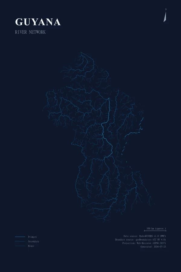
The HPS platform
One platform, one focused cartographic workflow.
Choose the working application or its system library to move from hydrographic information to a usable output.
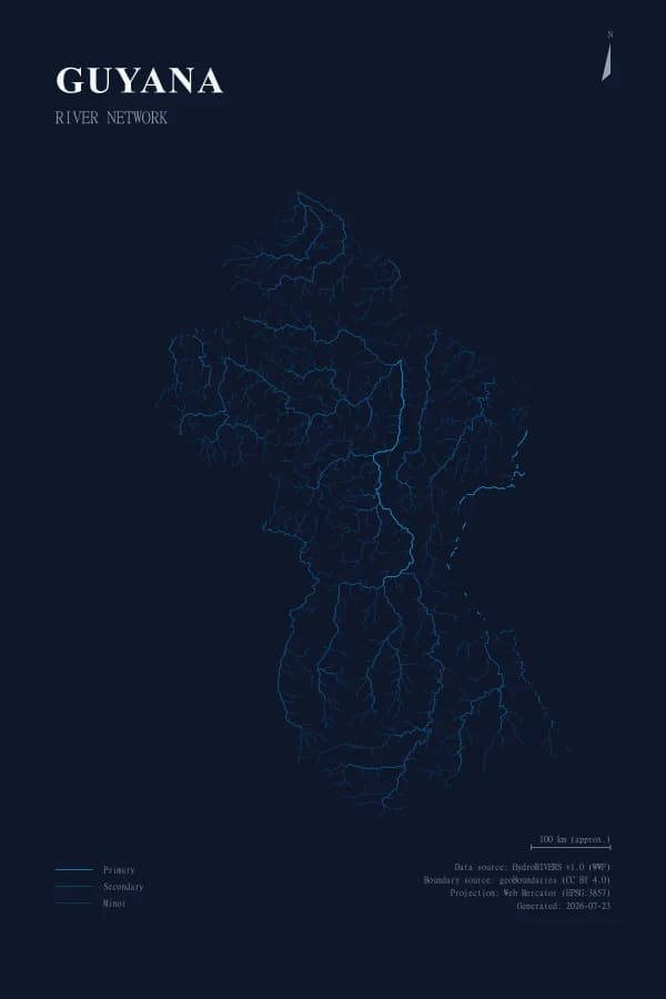
Spatial systems
Hydrographic Poster Generator
Generate print-ready river cartography from supported HydroRIVERS geographies with a repeatable composition and export workflow.
Open Poster GeneratorSystem library
Documentation
Understand the software stack, architecture, operating model, and implementation status behind the HPS portal and its products.
Browse Documentation