About Hydro Poster
River data, composed for print.
Hydro Poster turns a professional GIS workflow into a constrained creative tool. It clips real hydrographic data to a selected place, applies a consistent cartographic hierarchy, and produces a finished poster or reusable vector asset.
- Runtime coverage
- South America and North/Central America
- Spatial sources
- HydroRIVERS v1.0 and geoBoundaries
- Output
- Print posters and transparent design assets
From boundary to finished artwork
A visible result backed by a spatial pipeline.
The interface presents a short creative workflow. Underneath it, each render moves through five explicit stages.
01
Boundary selection
Choose a supported country or administrative area from the geography registry.
Input: geoBoundaries geometry
02
PostGIS clipping
Intersect HydroRIVERS line geometries with the selected boundary and retain the relevant network.
Operation: spatial intersection
03
Network classification
Apply the selected density rules and translate source hierarchy into a restrained visual system.
Result: display classes
04
SVG composition
Combine the classified network with typography, legend, scale, orientation, and source details.
Renderer: shared preview/export path
05
Export
Render the reviewed composition for print, digital display, or continued vector design work.
Formats: SVG, PNG, PDF
One source, two working modes
Finished composition or reusable geometry.
Poster mode
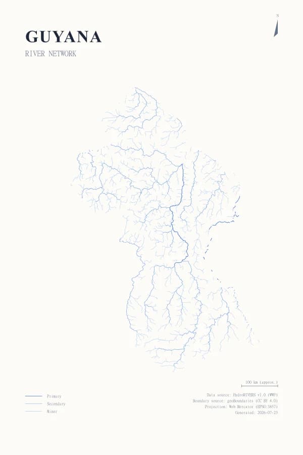
Preserves the complete composition, including typography, cartographic elements, and source information.
Design asset mode
Removes the poster chrome and exports the river network on a transparent background for continued design work.
Preview and export use the same SVG renderer, so layout, type, color, and metadata choices follow the reviewed composition into the final file.
Where it fits
Useful outputs, without GIS overhead.
Cartographic posters
Create high-resolution compositions for print or digital display without rebuilding the spatial workflow in desktop GIS software.
Vector design assets
Export a transparent river network as SVG or PNG for use inside a broader design composition.
Spatial communication
Show the density and hierarchy of a river network through a consistent, readable visual protocol.
Intentional constraints
A generator, not a general-purpose GIS.
The product narrows a complex cartographic process to the choices that materially shape the output. Presets protect consistency and make the result reproducible.
- No custom dataset uploads in the current product.
- No unrestricted cartographic styling or full GIS toolset.
- No global runtime dataset; current coverage is regional.
- Design assets use SVG or PNG, while poster exports also support PDF.
Build from the network.
Select a supported geography and review the rendered composition.